Can Drones Detect Crop Disease on Commercial Farms?
A 200-acre field can look healthy from the farm road while a fungal infection is already spreading through its lower canopy. By the time discoloration is visible across entire rows, yield and input costs may already be moving in the wrong direction. So, can drones detect crop disease? Yes, they can identify stress patterns that may indicate disease earlier and across more acreage than manual scouting alone. But a drone does not diagnose every disease by itself. Its strongest value is helping growers and agronomists find the right places to inspect, sample, and treat.
For commercial farms, crop consultants, and agricultural service providers, that distinction matters. Better scouting data can reduce wasted field passes, prioritize labor, and support more targeted decisions on fungicides, irrigation, nutrition, and crop protection.
Can Drones Detect Crop Disease Before Symptoms Spread?
Drones detect crop disease indirectly by measuring changes in plant appearance, canopy temperature, and light reflectance. Infected plants often experience reduced chlorophyll, disrupted water movement, poor vigor, or altered leaf structure before clear visual symptoms are obvious from ground level.
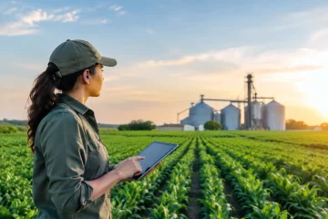
A drone captures these changes as maps. An operator can then compare low-vigor areas with field boundaries, drainage patterns, soil zones, irrigation performance, previous crop history, and known pest pressure. This turns aerial imagery from an attractive field picture into a practical scouting plan.
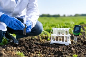
Early detection is not guaranteed. A disease signal can look similar to nitrogen deficiency, herbicide injury, compaction, insect feeding, salinity, or uneven emergence. Ground truthing remains essential: visit the flagged zone, inspect plants, check roots and leaves, and use laboratory testing when the disease risk or treatment cost justifies it.
What a Drone Can See
The best sensor depends on the crop, the suspected issue, the growth stage, and the decision that needs to be made. RGB cameras are useful for visible canopy gaps and color changes, while multispectral and thermal sensors reveal plant stress that may not be obvious to the eye.
| Sensor type | What it measures | Best use in disease scouting | Main limitation | | — | — | — | — | | RGB camera | Visible color and canopy structure | Spotting discoloration, dead plants, gaps, and lodged areas | Often detects problems after visible symptoms appear | | Multispectral camera | Reflectance in selected visible and near-infrared bands | Mapping vigor changes and possible early stress zones | Requires careful interpretation and consistent flight conditions | | Thermal camera | Canopy temperature | Identifying water stress that may be linked to disease or irrigation issues | Heat patterns are affected by weather and irrigation timing | | Hyperspectral sensor | Reflectance across many narrow bands | Advanced research and high-value crop diagnosis | Higher cost, complex data processing, and limited routine use |
Multispectral imaging is the most common commercial choice for broad-acre disease scouting. It can generate vegetation indices such as NDVI or NDRE, which help show relative variation in crop vigor. In dense, later-season canopies, NDRE can be more useful than NDVI because it is less likely to level off when vegetation is already heavy.
How Drone Disease Detection Works in the Field
A useful drone program begins with a defined management question, not a flight plan. A grower might ask whether irrigation stress is masking disease in a vegetable block, whether a low-vigor area in corn justifies a fungicide review, or whether orchard decline follows a drainage pattern.
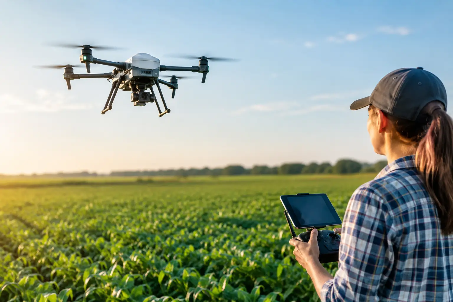
The operator plans a repeatable flight over the field, typically at the same altitude, speed, overlap, and time of day. Images are stitched into an orthomosaic or processed into vegetation maps. Those maps identify anomalies: areas that differ from the rest of the crop or from the same zone in a previous flight.
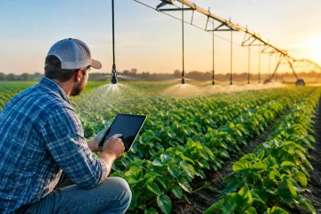
The next step is where the commercial value is created. The map is loaded onto a mobile device or farm platform, and an agronomist scouts representative points. A high-value workflow connects the image to a clear action, such as tissue sampling, pathogen testing, irrigation repair, a targeted spray pass, or no treatment at all.
A Practical Scouting Workflow
For most operations, this process works better than treating drone imagery as a standalone diagnosis:
- Establish a field baseline early in the season, when the crop is healthy or before disease pressure is expected.
- Fly again after rain, heat stress, irrigation events, or when satellite data and field reports show unusual variation.
- Compare current imagery with prior maps and known management zones.
- Send scouts to both stressed and healthy reference areas.
- Confirm the cause before spending on treatment, then document results for the next flight and season.
Repeated flights matter more than a single map. One image can show variation. A series of images can show whether that variation is expanding, stabilizing, or responding to management.
Where Drones Deliver the Most Value
Drone-based disease scouting is especially useful where manual inspection is slow, access is difficult, or crop value is high. Vineyards, orchards, seed production, vegetables, potatoes, berries, and greenhouse-adjacent outdoor production can justify frequent monitoring because a localized disease issue can quickly affect marketable yield.
Broad-acre row crops can also benefit, particularly when fields are large, fragmented, or variable. In corn, soybeans, wheat, and cotton, drones can help consultants identify zones for targeted assessment instead of walking every acre. The economic case becomes stronger when a flight supports several decisions at once, including stand assessment, irrigation review, nutrient management, and disease scouting.
| Farm situation | Drone advantage | Recommended approach | | — | — | — | | High-value fruit or vegetables | Finds localized stress before it becomes widespread | Fly frequently and combine imagery with plant-level inspections | | Large row-crop acreage | Reduces time spent locating problem zones | Use drone maps to direct scouts and compare zones over time | | Irrigated fields | Separates possible water-related stress from other issues | Pair thermal or multispectral maps with irrigation records | | Uneven terrain or wet ground | Improves access where walking or driving is inefficient | Use aerial maps to plan safe, focused field visits |
Limits Buyers and Growers Should Understand
The phrase “disease detection” can overstate what many systems actually provide. Most drone platforms detect crop stress signatures, not a named pathogen with laboratory-level certainty. A patch of low NDVI may be early blight, but it may also be poor drainage, nutrient loss, root damage, or compaction.
Weather also affects results. Clouds, wind, sun angle, soil moisture, and time of day can change readings. For accurate comparisons, flights should follow a consistent protocol, and imagery should be calibrated when the sensor and application require it.
There are operating constraints as well. Commercial drone use requires trained operators, legal compliance, battery planning, data storage, and software capable of processing imagery quickly enough to support a decision. A map delivered after the treatment window closes has limited value, no matter how detailed it looks.
For many farms, hiring a specialized drone service provider is more economical than purchasing equipment immediately. Ownership makes sense when flights will be frequent, acreage is substantial, and staff can reliably manage the data workflow. Service providers can be a better fit for seasonal needs, specialized sensors, or operations that want agronomic interpretation included in the deliverable.
Choosing a Drone System or Service Provider
When comparing equipment or aerial scouting services, focus less on headline camera specifications and more on the outcome. Ask what maps will be delivered, how quickly they will be available, whether the provider can create scouting points, and how results will fit existing farm records.
A commercially useful provider should be able to explain image resolution, flight timing, data ownership, calibration practices, and the difference between stress detection and disease confirmation. Agronomists and crop protection advisers should also be part of the decision loop. Their knowledge turns visual variation into an accountable management recommendation.
For suppliers and service businesses, this creates a growing opportunity. Farms need more than aircraft. They need reliable access to sensors, mapping software, pilot services, crop consultants, plant diagnostics, spraying equipment, and field-ready support. A focused agriculture marketplace such as Agricial can help buyers compare specialized providers and help qualified AgriTech businesses reach commercial customers looking for practical tools.
The Business Case: Faster Decisions, Not More Data
The return on drone scouting comes from avoided loss and better-targeted effort. It may mean finding a diseased patch early enough to contain it, avoiding a blanket input application when the problem is non-pathogenic, or sending a scout directly to 15 acres instead of searching 300.
Measure performance against operational outcomes: scouting hours saved, acres inspected, response time, input use, disease spread, marketable yield, and confidence in treatment decisions. Do not judge the investment only by the number of maps produced.
The best drone programs make field scouting more precise rather than trying to replace it. When imagery, agronomy, and timely action work together, an early warning from above can become a profitable decision on the ground.